



Gangwon State
Places to visit in Taebaek-si
This highland area preserves the history of coal mining alongside caves and geological sites. Explore its museum, Cheoram Village, and Yongyeon Cave by theme.
Explore on the map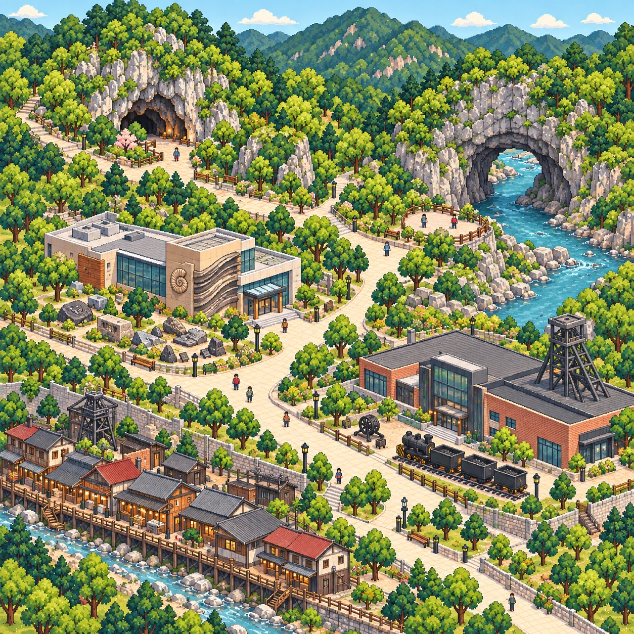
Places to visit
16 placesYongyeon Cave
The name refers to a dragon rising from a pond and ascending to the sky along a valley. The cave lies at 920 meters above sea level on the lower slopes of Geumdaebong, in the heart of the Baekdudaegan range, and is believed to have formed 150 to 300 million years ago.
View on mapGumunso Tourist Area
The area is linked with Gumunso, a Natural Monument, and highlights its natural environment through geological learning and visits to fossil sites. It also includes tourism facilities for longer stays.
View on mapTaebaek Paleozoic Natural History Museum
This museum introduces the geology and Paleozoic life of the Gumunso area. See fossils and sedimentary structures to learn about the natural environment of the distant past.
View on mapTaebaek Coal Museum
This museum explains how coal forms and the history of coal mining. Exhibits of mining tools and archival materials offer a look at miners' work and daily lives.
View on mapCheoram Coal Mine History Village
By depicting Korea in the 1960s, this place evokes a sense of nostalgia.
View on mapTaebaeksan Mountain
This mountain in a national park spans Taebaek City and Bonghwa County. Gentle slopes lead to plateau ridges and forest scenery.
View on mapHambaeksan Mountain
This high mountain rises on the boundary between Taebaek City and Jeongseon County and lies within the Taebaeksan National Park area. Its broad, gentle ridges offer views of the mountain ranges across the Taebaek Plateau.
View on mapGeomnyongso Spring
This nationally designated scenic site is a spring on the slopes of Geumdaebong and is known as the source of the Han River. Clear water flows from a spring surrounded by green moss.
View on mapNeodeolsaem Spring
This small spring sits beside a mountain trail below Dumundongjae and is described as the longest source of the Nakdong River. Follow the highland trail to see the spring.
View on mapHwangji Pond
Three ponds, Sangji, Jungji, and Haji, sit together in downtown Taebaek. Stroll by the water and see the fountain and performance stage at Culture Plaza.
View on mapYeonhwasan Mountain
This 1,172-meter mountain is close to downtown Taebaek. Take in the mountains and forests surrounding the highland city.
View on mapO2 Resort
This resort on Seohak-ro in Taebaek has condominiums, a golf course, and a ski area. Enjoy a mountain getaway or winter skiing.
View on map365 Safe Town
This safety-themed experience park is in Jangseong-dong, Taebaek. Explore and learn at facilities focused on disaster response and everyday safety.
View on mapMemorial Museum for Korean Miners Dispatched to Germany
Housed in the former Taebaek Nonghyup Cheoram branch building, this museum presents the history and artifacts of Korean miners sent to Germany. You can also watch related videos.
View on mapTongni Tantan Park
This park in the Tongni area was created using abandoned mine spaces. Walk the paths and enjoy the lighting installations along the way.
View on mapAurora Park
This park was created at the former Tongni Station, where you can learn about highland stations around the world. Snowflower Observatory offers views of the Tongni area.
View on map
Scenes of the area
- Caves and mining villages in Taebaek.
- The highland ridges of the Baekdudaegan Range
- Taebaek between ponds and mountains
- Memories of Jangseong and Cheoram
- The abandoned mine and old station in Tong-ri